Loading...


Flying Pix Spain

Since July 1, Flying Pix Spain puts more than 10 years of operational experience in the United Kingdom at the service of the construction sector in Spain with Flying Pix Limited UK. We specialize in construction monitoring using drones, aerial technical inspection and volumetric analysis, providing high-precision visual and metric data that optimize the planning, control and execution of civil works, renovations and large real estate developments.
Technical benefits for construction management
-
Periodic capture of aerial images and videos in 4K and 6K to evaluate the real progress of the work, compare it with schedules and generate visual monitoring reports
-
Costs associated with scaffolding, cranes or rental of lifting platforms for inspection tasks are eliminated. All work is done remotely and securely from the air.
-
We generate precise 3D data from aerial photogrammetry for material quantification, earth movement control and comparison between project phases
-
Our materials can be integrated into technical reports, progress audits, security reviews or presentations for clients, regulatory bodies or promoters.
-
Faster inspections, without the need for interruption on site. Immediate access to elevated areas, complex structures or difficult-to-access areas without affecting operations.
-
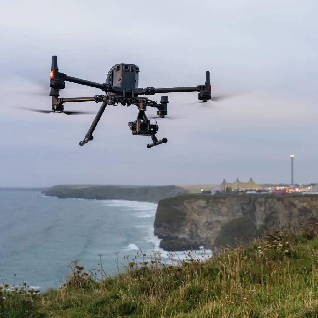
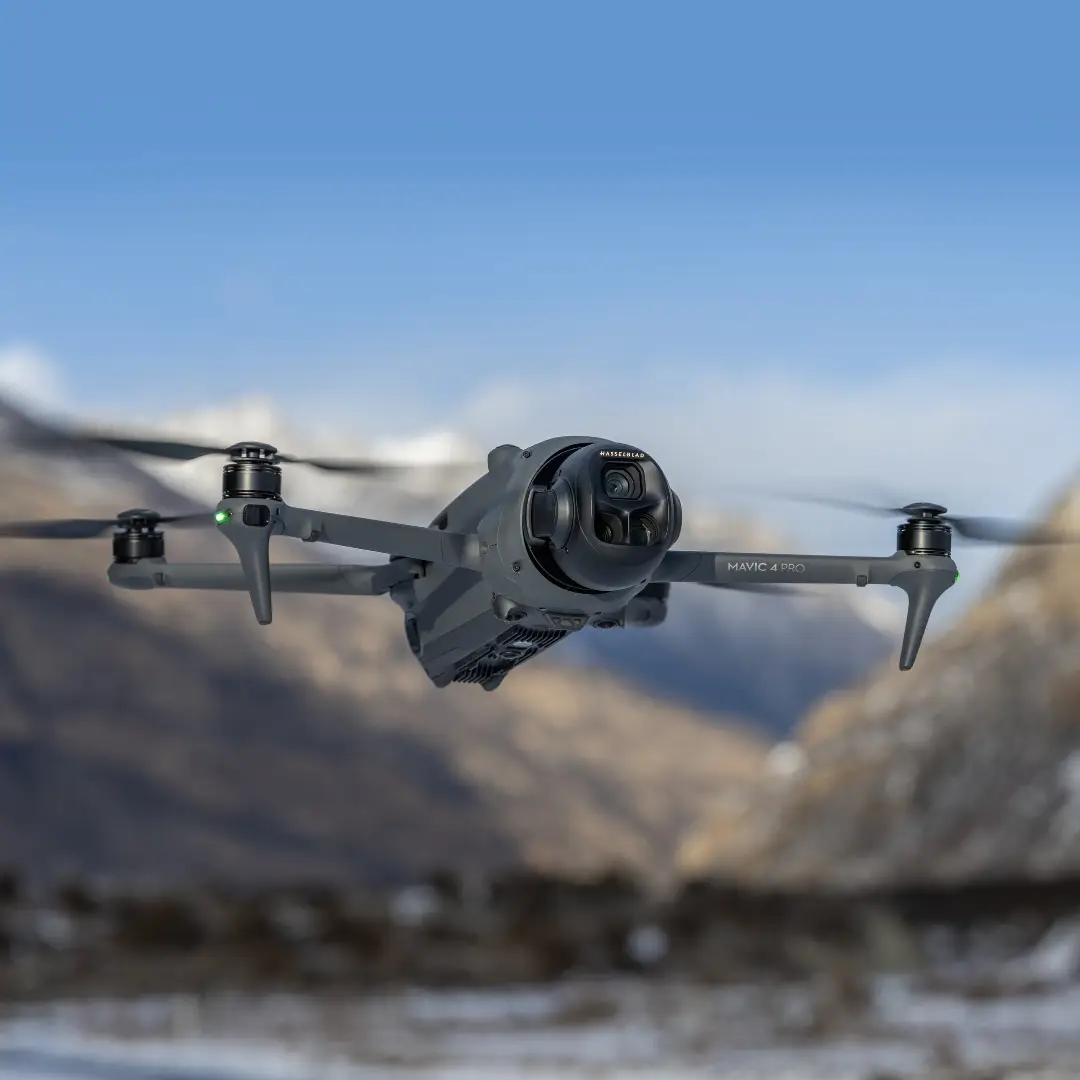
We fly with professional category drones equipped with high precision sensors. We process the data with specialized software to guarantee reliable results.
-
We comply with European UAS regulations. All our flights are authorized by AESA (State Aviation Safety Agency) and have civil liability insurance for professional use.
Coverage in Malaga and Andalusia We provide service in Malaga, Marbella, Granada, Seville, Córdoba, and throughout the national territory on demand. Do you need technical control from the air? Video with drones for each stage of your work: more control, fewer unforeseen events and more profit. Request a quote now!